About

illustration

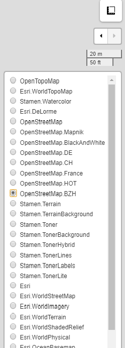
Site Analyser is a free, simple, and easy to use tool with lots of functions. Helpful to Architects, Urban Planners, and students for site analysis which is an important pre-designing process. This tool provides features like locating, drawing and editing the site, it also gives the area, perimeter, longitude & latitude of the site. Moreover it offers a wide variety of map options to choose from depending on the needs.

How to Use?

sidebar

1. Zoom-in to the map.

2. Zoom-out of the map.

3. Draw lines with this, which also gives distance between two points.

4. For Drawing polygons on the map, click on finish to complete the drawing.

5. For making rectangles and squares.

6. Make circular figures, with radius given.

7. PinPoint Markers to mark destinations.

8. Circular-Markers, to mark important places or destinations.

9. To save changes and edit features.

10. Delete existing features by clicking on them.

11. Customize color, line weight, line type, opacity of features and by clicking on markers, even its color and logo can be changed.

12. Search button, used to search locations by selecting options from drop down list.

sidebar

1. Create measurement tool, which also tells the geolocation of the selected point, area and perimeter of the polygon created.

2. Mapping history tool to Undo and Redo your mapping steps.

3. Scale bar showing the scale of the map.

5. 40 different maps to choose from which include satellite map from ESRI, street map from OSRM, and many more.

Note: If you are a mobile user, kindly open the website in landscape mode for a better experience!